
Transylvania · Făgăraș Mountains
Over the Transfăgărășan
A road built for the army in the 1970s climbs from the Olt plain to a glacial lake and drops through forest to a dam and a ruined fortress. It opens only in the warmer months.

The Transfăgărășan, road DN7C, crosses the Făgăraș Mountains, the highest ridge of the Romanian Carpathians, between the Olt valley in Transylvania and the Argeș valley in Wallachia. It was built in the early 1970s on the orders of Nicolae Ceaușescu, largely by army engineers, after the Soviet invasion of Czechoslovakia in 1968 made the regime want a way to move troops across the mountains quickly. The work was hard and dangerous, and the road that came out of it is a thing of switchbacks, tunnels and viaducts that climbs above the tree line and over the main ridge.
Today it is driven for the views rather than for defence. On a clear day the climb from the north is one of the great mountain drives of Europe. On a foggy day you see the white line, the next bend and not much else, and that is part of the experience too.
When the high road is open
The lower stretches on both sides are open for much of the year, but the high section over the ridge is closed by snow for most of it. It usually opens at the start of summer and closes again in autumn, and the exact dates change every year with the snow, the weather and repair work. Closures can also happen at short notice in summer after storms or rockfalls.
The road is narrow in places, the bends are tight and the weather above the tree line can turn in an hour, with cloud, cold rain and even summer snow. Drive slowly, use lower gears on the descent and expect cyclists, motorcyclists and cars stopped in odd places for photographs. Weekends in high summer bring heavy traffic, and an early start on a weekday is the calmest way to do it.
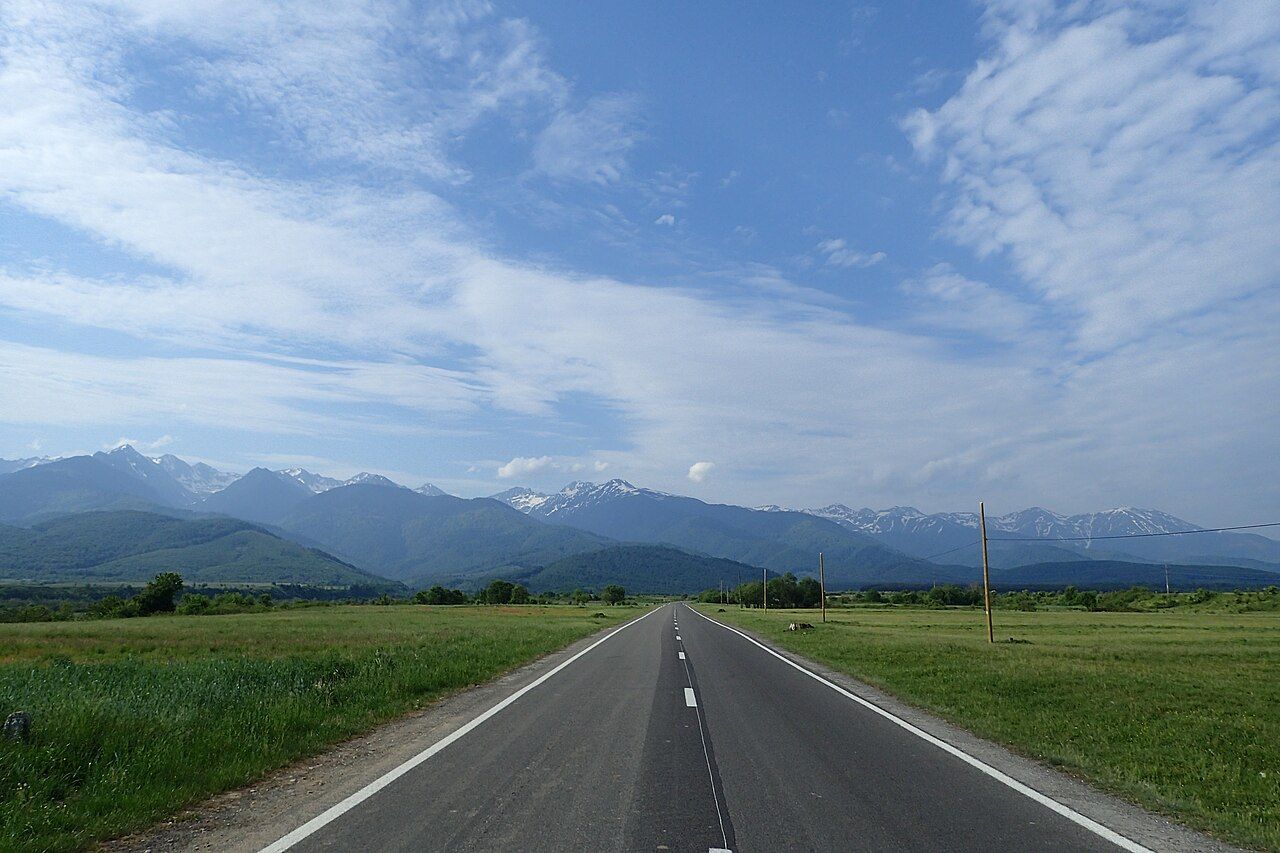
The northern climb to Bâlea Lake
From the north the road leaves the main Sibiu to Brașov road near Cârțișoara and runs straight across flat farmland towards the wall of the mountains. Then the forest begins, and with it the bends. Near the top of the forest a cable car runs up from the area around the Bâlea waterfall to the lake, and in winter, when the road is shut, it is the usual way up.
Above the trees the road becomes the one you have seen in photographs: a long ribbon of hairpins laid across a bare valley head, with stone walls and viaducts holding it to the slope. It reaches Bâlea Lake, a glacial lake in a cirque at about 2,000 metres, ringed by scree and grass and overlooked by the ridge. There are a few buildings by the water and a car park that fills by midday in summer.
On a clear day the climb from the north is one of the great mountain drives of Europe.
Just past the lake the road enters a tunnel of close to a kilometre under the ridge, its highest point at a little over 2,000 metres, and comes out on the southern side into a different landscape: longer, greener valleys falling away towards Wallachia.
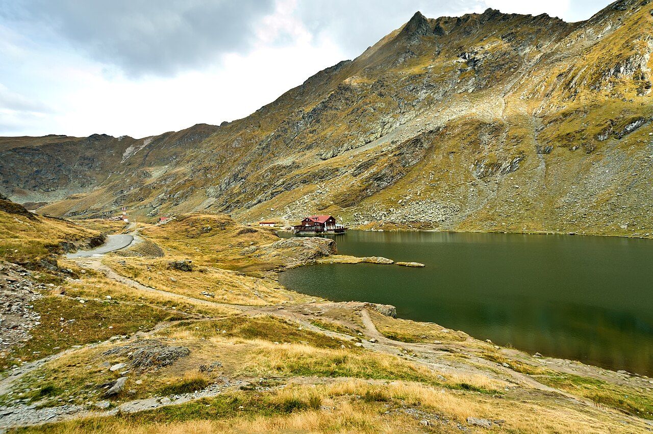
Walking from the lake
Bâlea Lake is the easiest place in Romania to get onto a high ridge. Marked paths climb from the lake towards the crest, and the ridge trail runs east and west along it towards Negoiu and Moldoveanu, the highest peak in the country. Even an hour of walking above the lake gives you wide views over the Olt plain to the north.
Treat the mountains with respect. Paths are rocky, weather changes fast, and the ridge has no easy way down in many places. Wear proper boots, carry warm and waterproof layers, start early and turn back if the cloud comes down. Mountain rescue in Romania is called Salvamont; know how to reach the emergency number before you go.
Further along the arcSibiu, the town with eyes in its roofsBears by the road
The Făgăraș Mountains are bear country. Brown bears live in the forests on both sides, and in recent years some have learned to wait by the road on the southern side, where people stop to throw them food. This is dangerous for you and fatal for the bears, which lose their fear of people and are often shot once they become a problem. Feeding them is illegal.
Never feed a bear, never get out of the car to approach one, and keep your windows up if one comes close. On foot, keep your distance, make noise on forest paths, do not leave food in tents or open cars, and follow any local warnings. Parts of the road have at times been closed to walkers and cyclists because of bears; respect any such rules.
The southern side: Vidraru and Poenari
The descent south runs down the Capra valley through forest and reaches Lake Vidraru, a long reservoir held back by Vidraru Dam, an arch dam finished in the 1960s across a narrow gorge of the Argeș. The road crosses the top of the dam, and there are places to stop and look down the face to the river far below.
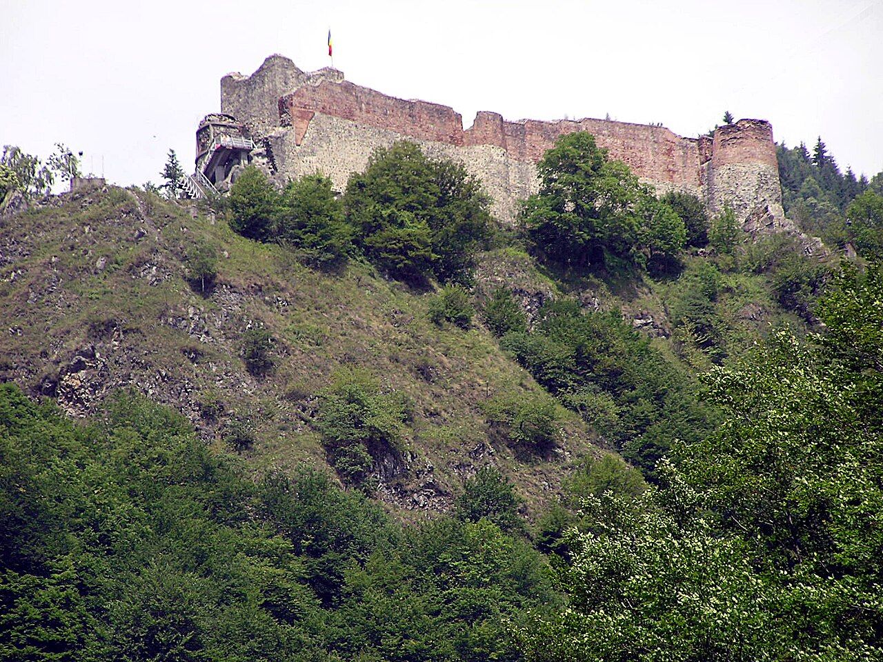
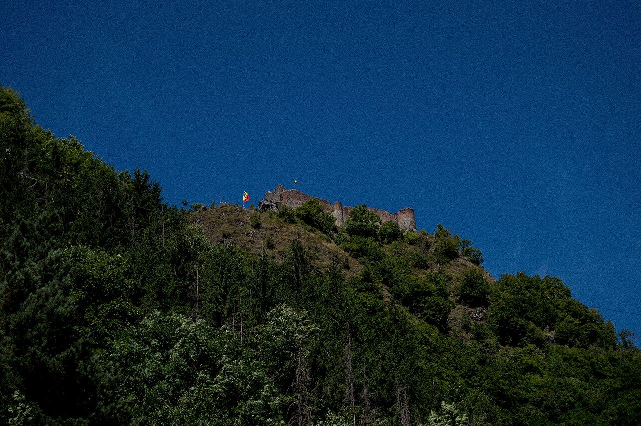
A little further south, on a crag above the Argeș gorge, stand the ruins of Poenari fortress. It is the castle most firmly tied to Vlad III Dracula, the 15th-century prince of Wallachia, who rebuilt and used it. A long stair of well over a thousand steps climbs through the forest to the walls, and the view from the top takes in the whole valley. The site is sometimes closed, including because of bears. It has a much better claim to Vlad than Bran Castle on the other side of the mountains, though Bram Stoker never came here either.
A few practical points make the day easier. Fill the tank before you start, as there is no fuel on the high section and few places to buy it in the valleys near the top. Food stalls and a few places to eat open by Bâlea Lake and along the road in the summer season, but carry water and something to eat in case of delays. Phone signal is patchy in the gorges, and the tunnel is long and poorly lit, so switch on your headlights and take it slowly. Parking at the lake and at the dam fills early on busy days, and stopping on bends is dangerous for everyone. If you are cycling, the climb is long and steep, the descent fast and the traffic heavy at weekends; a helmet, lights and warm clothes for the top are the minimum. The road can be driven in either direction, but the northern climb gives the more dramatic first views.
From Poenari the road continues down the valley to Curtea de Argeș, with its carved cathedral and royal tombs, and on to Pitești and the motorway to Bucharest. Driving north to south, a full day with stops at the lake, the dam and the fortress is about right. If you can, sleep near the road on one side so you can be at the top early, before the crowds and the afternoon cloud. For the wider picture of roads and distances, see getting around.
The photographs on this page are credited, with their licences, on threads and photographers.